December 21, 2020 by Meteorologist, Michael Page
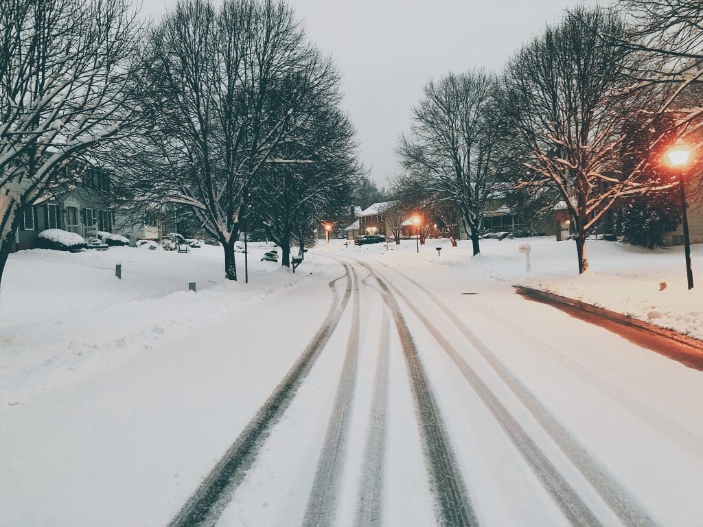
Even though things look wintry right now, a warm-up is set to arrive in New England just as Christmas approaches.
Here are three things to know about this week’s weather in Hingham:

Winter Officially Starts Monday
Winter officially starts at 5:02 AM on Monday. While it is the ‘darkest’ day of the year, with just over 9 hours of sunlight, sunsets are actually already getting later.
The earliest sunsets of the year occurred a few weeks ago, and now we’re picking up a few minutes of daylight each night.
Sunrise times, however, are still getting later. Our latest sunrises, around 7:13 AM, occur at the end of this month.
We’ll be gaining daylight both in the morning and at night after the first week of January.
From a weather standpoint, it will feel like winter to start the week.
High temperatures Monday, Tuesday, and Wednesday will hold in the 30s to near 40 degrees.
Monday will boast lots of clouds, but we’ll start to see more sun by Tuesday afternoon. Wednesday will be bright.

Warming Up for Christmas
An approaching storm will track through New England on Christmas Eve, dragging with it some warmer air.
Temperatures on Christmas Eve will pop into the 50s as a band of rain moves through.
That rain will clear out gradually on Christmas Day, but it will also usher in some chillier air. So the warmest part of Christmas will likely be early, with dropping temperatures during the afternoon.

Back to Winter Next Weekend
After a brief spell of 50s around Christmas, colder air will surge back in by next weekend. Expect more seasonable temperatures, with 30s returning to the South Shore during the day.


